Verified Supplier
6 Years

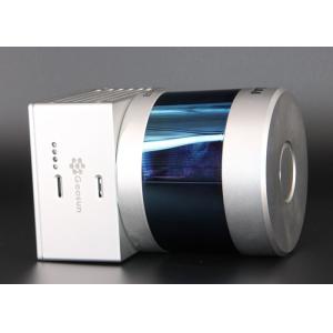
Wuhan Geosun Navigation Technology Co., Ltd.
Geosun's Wishes and Aspirations: Make the LiDAR/SLAM Solution More Applicable and Affordable
Manufacturer from China